|
||
|
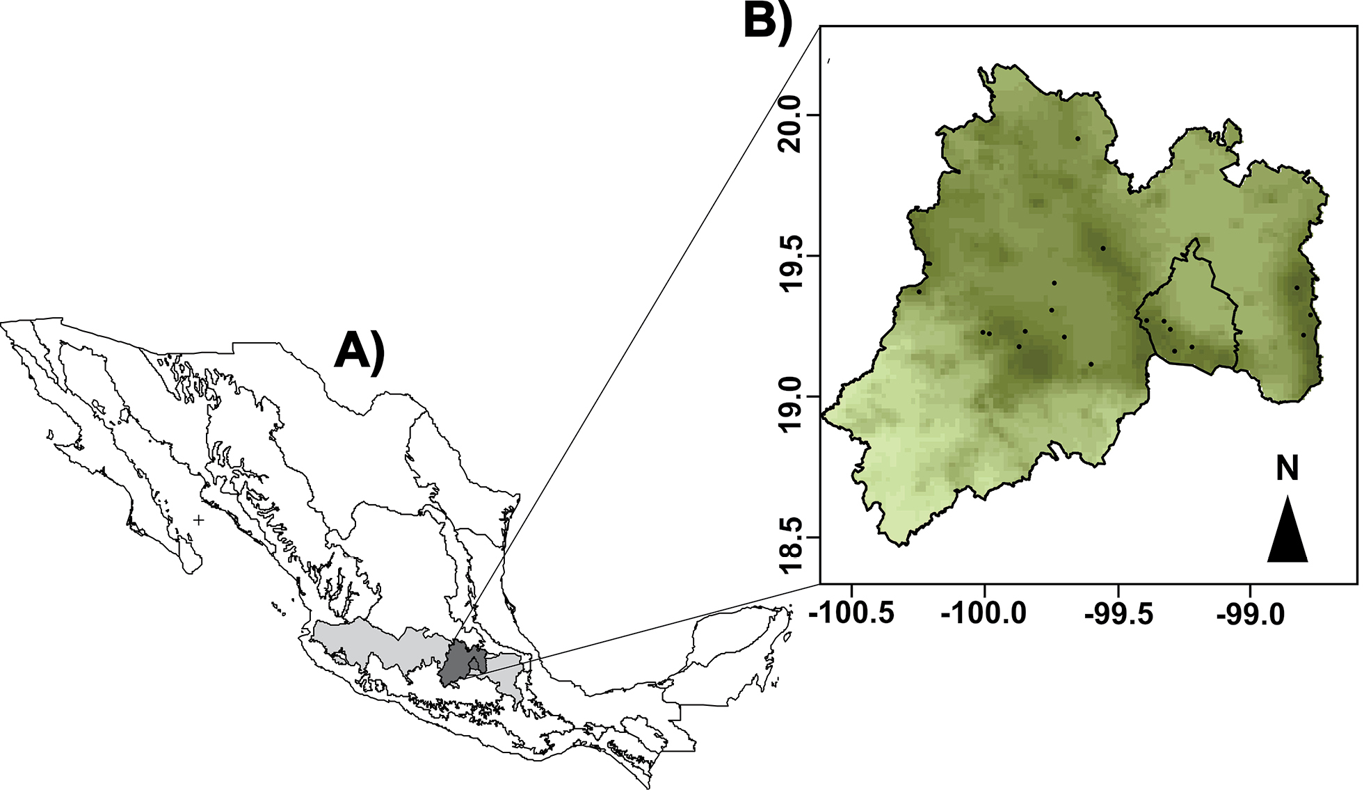
A) Map of Mexico showing the Trans-Mexican Volcanic Belt, the State of Mexico and Mexico City. B) Map of the State of Mexico and Mexico City where the sampling sites are shown in an elevation raster, the darker areas refer to high elevation. |
|
||||||||
| Part of: Sunny A, Gandarilla-Aizpuro FJ, Monroy-Vilchis O, Zarco-Gonzalez MM (2019) Potential distribution and habitat connectivity of Crotalus triseriatus in Central Mexico. Herpetozoa 32: 139-148. https://doi.org/10.3897/herpetozoa.32.e36361 |